

We got a good, early start, around 6am, wanting to get up Mount Evans before there was much traffic. It was about 34 degrees, so we were suited up in our heated gear. We did make a stop for breakfast just a few hundred feet down the road from our lodging. Ian's Mountain Bakery in Granby was awesome. We were greeted by Ian himself, a very loquacious guy who is a magician with pastry. He offers breakfast burritos, breakfast pockets and a number of different types of pastries. We sampled his heartier fare and then shared an apple turnover. We also got a blueberry scone "to go" for a snack later. It was about a three hour ride to Mount Evans, down US-40 through Fraser and Winter Park. Then a short hop on I-70 east to Idaho Springs, and onto the start of the Mount Evans ascent, CO-103. Once we turned onto CO-5, the Mount Evans road, there is a ranger station. The fee was $3 each, paid to a very friendly, helpful ranger who seemed truly happy to be doing his job. Then we did the 14 mile Mount Evans climb. The road is tortuous in places, especially near the top, and the pavement isn't always in great shape, owing to avalanches and landslides, no doubt. We were quickly above tree line with snow in many areas still present. There are numerous 1st gear hairpins.
 I had hoped to see the famed mountain goats, and sure enough, there were several of them hanging around the parking lot and climbing on the walls surrounding the lot. They don't seem particularly tame, but are not intimidated by people, either. We hung around for a while, taking photos and trying to identify mountains off in the distance. It was pretty hazy. Supposedly one can see 200 miles on a clear day. We couldn't even quite make out Denver, about 40 miles away. I started to feel lightheaded from the elevation, so we started down.
 We retraced our route back to I-70 and headed west through the Eisenhower tunnel and then south on CO-91 toward Leadville. We crested Fremont Pass just before the mining town of Climax where the main product is molybdenum. We went on through Leadville, a classic western silver mining town. Leadville is the highest elevation city in the US at 10,152 feet and is near the headwaters of the Arkansas River. We were headed for Gunnison, but were way ahead of schedule. On a whim, we decided to take a whitewater rafting trip.
We continued south on US-24 to Buena Vista, a town I had passed through on Friday on my way to Denver. We chose at random the first rafting company we came to, Kodi Rafting Tours. They had a 3 hour tour leaving in 30 minutes, so we signed on. After a quick change out of motorcycle gear and into rafting gear, we were ready. We became clients on one of the decrepit school buses I have mentioned in a couple of previous posts. On the bus ride to the launch site, we were told all of the grizzly safety details. In reality, the trip was quite tame. It was supposedly a class 3 (of 5) river, but there was only one short section that was exciting. All in all, it was fun and great to get off the motos and on the water.
 After returning to the tour company base and getting dried off and redressed, we continued south on US-285 to US-50 west. We crossed one more major pass, the Monarch Pass, which marks the continental divide in the southern part of Colorado. This is the view looking south from Monarch Pass. We rode on to Gunnison, home of Western State College of Colorado.
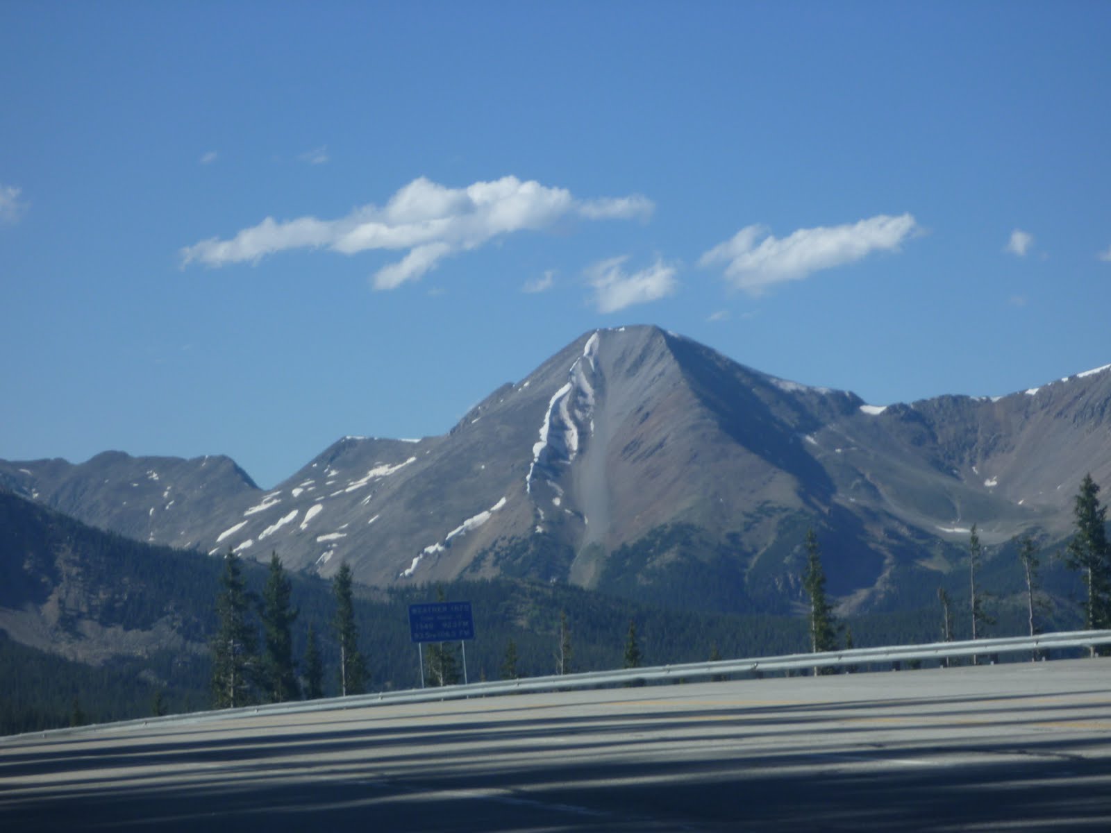 After returning to the tour company base and getting dried off and redressed, we continued south on US-285 to US-50 west. We crossed one more major pass, the Monarch Pass, which marks the continental divide in the southern part of Colorado. This is the view looking south from Monarch Pass. We rode on to Gunnison, home of Western State College of Colorado.
No comments:
Post a Comment